
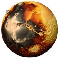
Elevation Mars is a Mars simulation tool for Android devices. It allows users to simulate and visualize the surface area and volume of water on Mars, observing how the terrain changes as sea levels and water volumes are adjusted. The app enables one-tap sharing of calculation results to social media platforms and includes built-in help documentation to assist users in getting started quickly. It features 3D navigation, allowing users to view Mars from any angle, and offers a variety of color schemes. Additionally, the app supports tracking movement paths and displaying local weather information.
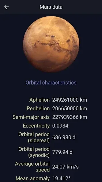
Features
Use the info window to display the imaginary amount of water area and volume on Mars and watch it change dynamically as you alter the water level.
Adjust an imaginary sea level and amount of water on the Mars, watching it flood or drain areas of the terrain based on its elevation.
Share your high resolution imagery with friends via email, messaging, Facebook etc.
Direct links to Wikipedia information about the current location.
Help documentation included in app.
Full 3D navigation - View Mars from any angle.
Choose from a number of color palettes.
Display satellite imagery.
Control the colors displayed at different elevations.
Increase and decrease the exaggeration of the elevation.
Show how Mars would look with water from Earth's oceans and seas.
Learn about the water held in ice and rock.
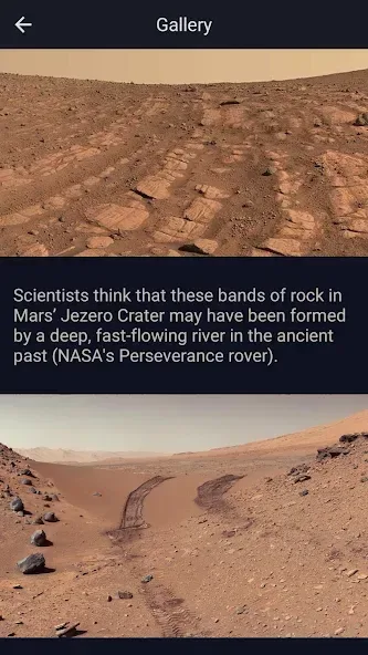
Function
Follow Me Mode - Follows your current location in real time. Watch your movements on a map and see your Elevation Mars and coordinates updating as you move.
Search for Locations and watch the map fly over to them. Elevation Mars will tell you the weather there and let you browse Wikipedia articles about attractions nearby the location. If you are curious at all about other places you will love this !
Long press a location on the map and Elevation Mars will tell you the weather there and let you browse Wikipedia articles about attractions nearby the location.
Add bookmarks for places you want to remember.
Share your location or what you find in searches with your friends in a text or email.
Advantages and disadvantages
Pros
Follow Me Mode updates elevation and coordinates during movement
Four Google Maps styles plus tilt, heading, and night controls
Weather, nearby Wikipedia articles, bookmarks, and sharing
Cons
No offline mode
Cannot measure actual altitude above the ground
Summarize
Let your imagination run free with our mysterious red neighboring planet. A quick and fun way to learn about Martian terrain from its deepest canyon to the highest planetary peak in the solar system. Create and share stunning imagery from any angle and location, color and elevation exaggeration. Familiarize yourself with the Martian globe to the extent that you can point out features to others unaided.